
On Wednesday, President Donald Trump announced plans to “jumpstart construction” of his proposed U.S-Mexico border wall.
That proposal, along with promises that Mexico would pay for the wall, was one of his 2016 campaign promises that riled many on both sides of the political aisle.
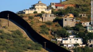
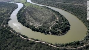
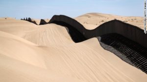
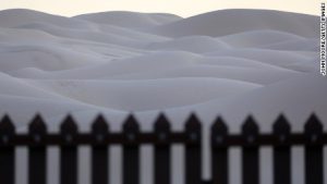
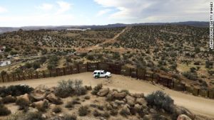
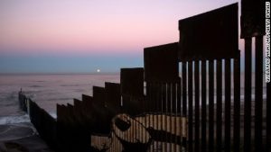
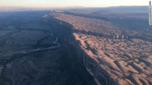
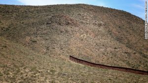
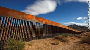
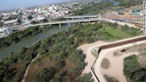
The border between the U.S. and Mexico stretches for 1,989-miles, from the Gulf of Mexico in the east, to the Pacific Ocean in the west.
Along the way it intersects the Colorado and Rio Grande rivers, crosses through twin border cities, contains portions of the Chihuahan and Sonoran deserts and forms the boundary of Big Bend National Park.
On that note, critics of Trump’s proposal argue that the sheer vastness of the area and the potential resource cost should cause anyone to shy away from the idea. Coupled with the president’s silence on just how Mexico will contribute to the structure, the construction of the border wall will be a major challenge.
Here’s a look at how the US-Mexico border looks before the construction of the wall begins: